The Intergovernmental Hydrological Programme's Water Information Network System (IHP-WINS) is designed to promote the sharing and dissemination of water-related data and information among countries, organizations, and stakeholders involved in water resources management, as part of the UNESCO IHP mandate.
The main objective of IHP-WINS is to enhance the availability, accessibility, and usability of water-related information, with a focus on supporting evidence-based decision-making and sustainable water resources management. It aims to facilitate the exchange of data, knowledge, and best practices among stakeholders at various levels, including national, regional, and global scales.
IHP-WINS provides a platform for integrating and harmonizing water-related data and information from diverse sources, such as monitoring networks, research institutions, government agencies, and international organizations. It promotes the use of standardized data formats and metadata to ensure compatibility and interoperability of information across different systems and platforms.
Through IHP-WINS, UNESCO's Intergovernmental Hydrological Programme aims to strengthen international cooperation, improve data availability, and enhance the understanding and management of water resources worldwide.
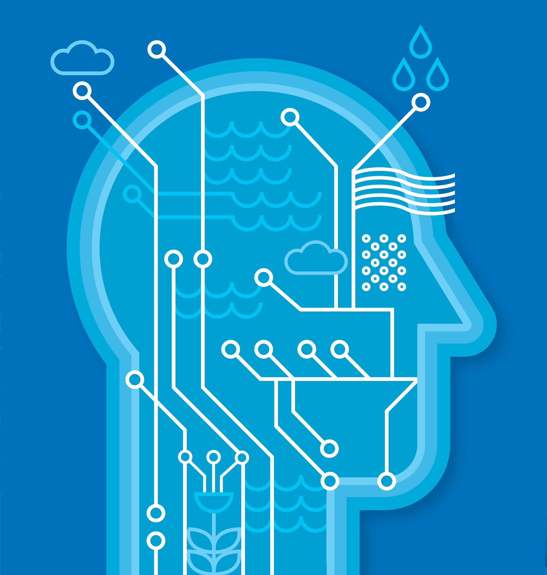
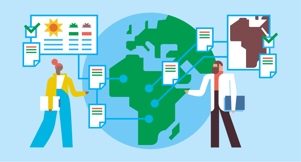
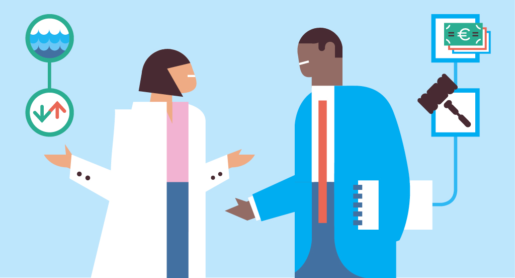
A data platform to aid in informed decision-making
At UNESCO, we believe in the power of open collaboration and the principles of Open Science, leveraging open-source technology to provide a seamless experience for users. The platform's Data Catalogue and Management System stand as a testament to this commitment, offering a robust repository for all IHP-relevant datasets. UNESCO's Water Family can contribute and access information in various formats, enabling a diverse and inclusive data-sharing environment. UNESCO believes in harnessing the power of data to advance global goals for a sustainable future.
Recently uploaded datasets from UNESCO's Water Family
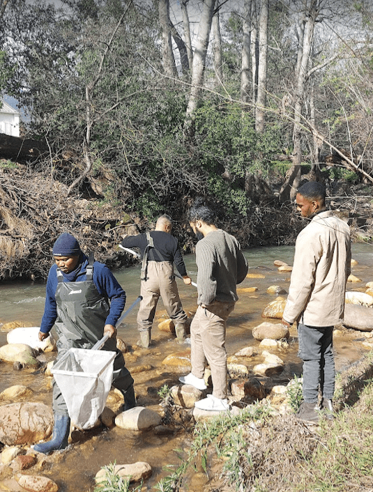
Recognizing the value of transboundary water systems and the fact that many of them continue to be degraded and managed in fragmented ways, the Global Environment Facility Transboundary Water Assessment Programme (GEF TWAP) was developed. The Programme aims to provide a baseline assessment that identifies and evaluates changes in these water systems caused by human activities and natural processes, and the consequences such have on dependant human populations. The project is the first truly global comparative assessment for transboundary aquifers, lakes, rivers and large marine ecosystems, as well as a thematic evaluation of the open ocean, through institutional partnerships that hope to seed future global assessments. The project results are envisioned to assist the GEF and other international organizations in setting priorities for supporting the conservation of transboundary water systems. More information on TWAP including final reports can be found on www.geftwap.org This portal gives access to the map based results from the Groundwater component of the Transboundary Waters Assessment Programme. The data shown in this portal have been made available by national experts from countries involved in the TWAP Groundwater project. It also includes the results from scenario analyses using the global WaterGAP model (University of Frankfurt, Germany) and a study on groundwater systems of small island developing states, also called SIDS (Simon Frasier University, Canada). More information on TWAP Groundwater, including reports on methodology and outcomes, can be found on www.twap.isarm.org

This dataset includes pdf versions of presentations delivered during all sessions of the Water Family Symposium: Opening Session / Session 1: Scientific contribution of the Water Family / Session 2: Contribution of the Water Family to Capacity Development / Session 3: Contribution of the Water Family to Capacity Development.
The SIDS viewer provides groundwater related information on Small Island Developing States. At present the system contains mainly information derived from the Transboundary Waters Assessment Program (TWAP) on 43 SIDS. The data include indicators describing the hydrogeological, environmental, socio-economic and governance dimensions of the SIDS groundwater systems. The data have been derived from questionnaire surveys and an extensive desk-top study executed by the Simon Frasier University (Canada) and coordinated by UNESCO-IHP. Data in the system can be explored and analysed using a map based viewer, which is particularly useful to make comparative analyses of multiple SIDS. Additionally SIDS information sheets are also available providing clear overviews per SIDS. Further data on SIDS will be collected and uploaded into the SIDS viewer as they become available. For any queries or comments on the SIDS data and information, please visit our SIDS Focal Area page. (https://www.un-igrac.org/areas-expertise/small-island-developing-states-sids)
This 5 km resolution grid presents groundwater storage in Africa (in mm). This parameter was estimated by combining the saturated aquifer thickness and effective porosity of aquifers across Africa. For each aquifer flow/storage type an effective porosity range was assigned based on a series of studies across Africa and surrogates in other parts of the world. Groundwater storage is given in millimeters. Detailed description of the methodology, and a full list of data sources used to develop the layer can be found in the peer-reviewed paper available here: http://iopscience.iop.org/article/10.1088/1748-9326/7/2/024009/pdfThe raster and a high resolution PDF file are available for download on the website of British Geological Survey (BGS): http://www.bgs.ac.uk/research/groundwater/international/africanGroundwater/mapsDownload.html
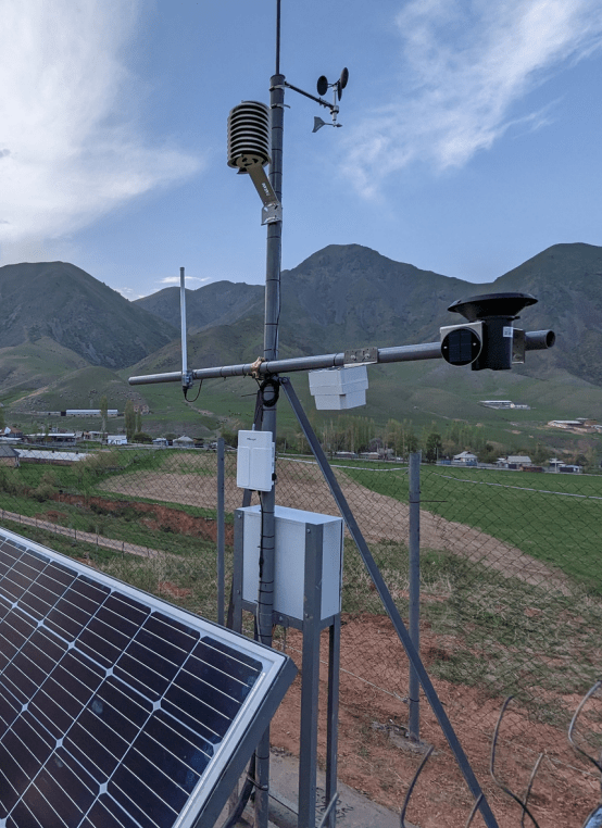
This dataset provides comprehensive hydrometeorological data from South Korea, sourced through the WAMIS Open API. It includes hourly, daily, and monthly records of precipitation, water levels, meteorological conditions, river flow rates, and suspended sediment loads. The data is collected from various stations across South Korea and is regularly updated to support environmental monitoring, research, and water resource management. Users can access real-time and historical data, making this dataset valuable for climate studies, hydrological modeling, and infrastructure planning. This catalog includes the following data resources: >__Hourly Precipitation Data__: Precipitation levels recorded every hour over the last 3 days. > >__Daily Precipitation Data__: Daily precipitation measurements covering the last 3 months. > >__Monthly Precipitation Data__: Monthly precipitation data spanning the last 3 years. > >__Hourly Water Level Data__: Water level data recorded hourly for various rivers, updated every 3 hours. > >__Daily Water Level Data__: Daily water level records from the last 3 months for multiple stations. > >__Hourly Meteorological Data__: Hourly meteorological data including temperature, humidity, wind speed, and solar radiation. > >__Daily Meteorological Data__: Daily meteorological summaries, ideal for longer-term climate analysis. > >__Daily River Flow Rate Data__: Daily records of river flow rates for the current year. > >__Suspended Sediment Load Data__: Information on sediment load concentrations and flow rates over the last 3 years.
Large-sample datasets are essential in hydrological science to support modelling studies and global assessments. The present dataset compiles all freshwater quality data that is available under open data policy (CC BY 4.0 or equivalent) at the GEMStat database for global water quality (www.gemstat.org). It includes over 20,000,000 measurements on 608 water quality parameters, covering 13,660 stations in 37 countries over the time period from 1906 to 2023. GEMStat is operated by the GEMS/Water programme of the United Nations Environment Programme (UNEP) and hosted at the International Centre for Water Resources and Global Change (ICWRGC) and the German Federal Institute of Hydrology (BfG). The data in GEMStat is provided by National Hydrological Services of UN member states.
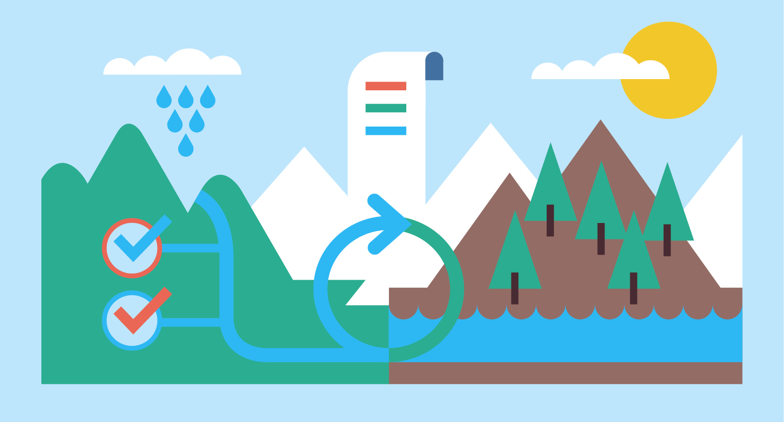
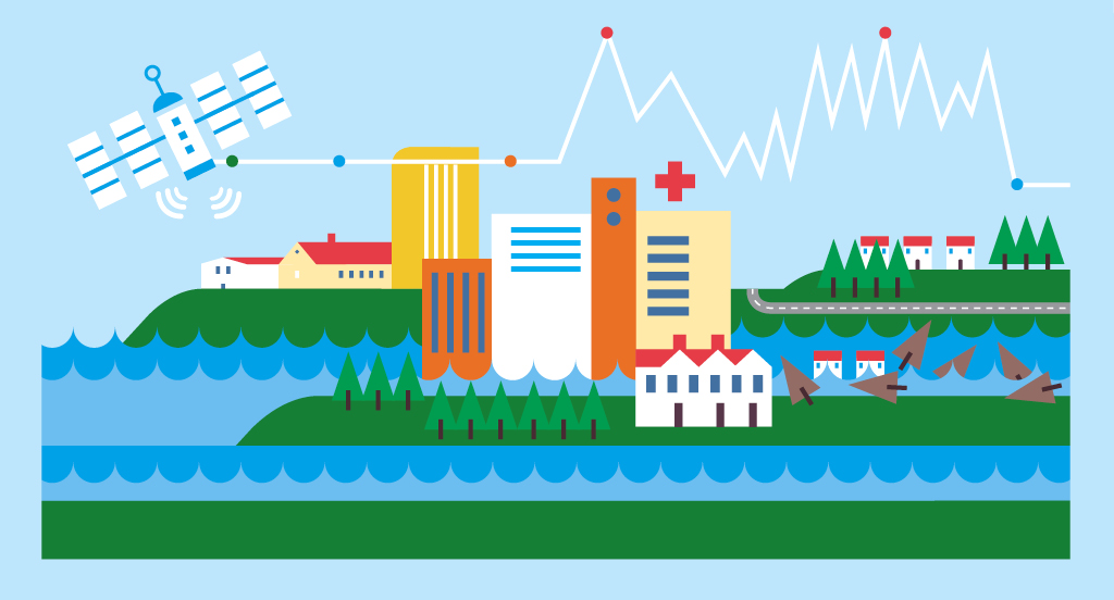
Transform data into actionable insights
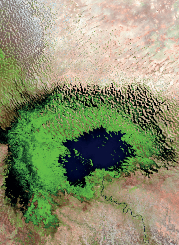
By overlaying datasets, stakeholders gain insights into water-related patterns and trends, facilitating informed decision-making and more. The variety of datasets and scales enable to uncover insights into both overarching global trends and finer-grained local patterns.
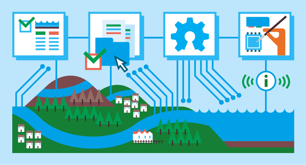
Specialized visualization tools tailored to specific water themes
Explore the IHP Open Learning platform or participate in one of the latest open learning courses.

Featured publications from UNESCO IHP and the Water Family

This publication aims to bridge the gap between climate and disasters, in the face of the uncertainties that climate change poses to water managers and policymakers. Composed of a compilation of worldwide case studies, it provides examples of innovative water management and climate risk assessment approaches. The publication also highlights the National Determined Contributions (NDCs) and National Adaptation Plans (NAPs) with the aim of identifying links between these high-level frameworks, DRR and water issues, and describing how the policy-practice linkages can be turned into action.

This publication has laid out a strategic framework to integrate Open Science into hydrology, illustrating its true potential to enhance research transparency, collaboration, and accessibility within water management practices. The six pillars — open data, open source, open publishing, open infrastructure, open education, and open participation — constitute the structure of the Open Hydrology framework designed to promote transparency and reproducibility.

Overview of the IHP Phase VIII Achievements

The CRIDA approach provides a crucial framework to enable water managers and policy makers to assess the impact of climate uncertainty and change on their water resources and work towards effective adaptation strategies. This multi-step process embraces a participatory, bottom-up approach to identify water security hazards, and is sensitive to indigenous and gender-related water vulnerabilities. By engaging local communities in the design of the analysis, the information provided by scientific modeling and climate analysis can be tailored and thus provide more useful answers to the challenges they are facing. They are also providing a more informed starting point to assess the different options for adaptation, and design robust adaptation pathways, in line with the local needs.

This publication reviews the current state-of-the-art of AI and Machine Learning (ML) applications within water management, introducing some of the main concepts and providing the reader with a general understanding of different technologies and concepts. Further, it features examples of the most influential applications of AI within water management and highlights the ethical challenges when streamlining AI for water resources management.
Stay updated with the latest activities and announcements

March 21, 2025
The first-ever World Day for Glaciers, to be celebrated on 21 March 2025, urges global action to protect glaciers and their crucial role in sustaining life on Earth for future...

January 1, 2025
UNESCO Intergovernmental Hydrological Programme (IHP) is hosting an expert webinar series throughout 2025 celebrating its 50th anniversary, featuring experts discussing critical water...

June 3, 2024
The planning, definition of priorities, and supervision of the execution of the Intergovernmental Hydrological Programme (IHP) are ensured by the Intergovernmental Council, which is...